
Drone Services
Aerial data can provide a detailed view of site conditions and support mapping, documentation and design workflows.
Aerial Mapping and Project Documentation
Drone imagery can be processed into an orthomosaic for an overall project view while retaining detail for closer inspection. Depending on project requirements, aerial data can also support elevation models and 3D point-cloud deliverables.
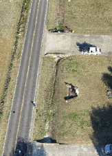
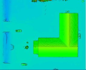
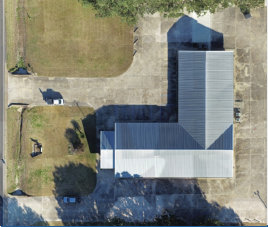
Potential deliverables include: orthomosaic imagery, digital elevation models, 3D point clouds and terrain information for appropriate project applications.